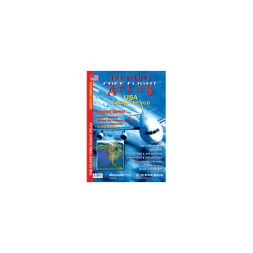
Absolutezero - Free Flight Atlas, USA, CANADA, MEXICO
The first Atlas designed for pilots allows you to see immediately where you are in relation to the airways structure, airports and objects on the ground. The carto-graphy includes mountain ranges, lakes, rivers, major highways, railways, cities and towns. To this we have added over 6,000 airports, color coded by runway length / surface and airfield type. Points of interest or historical value are also indicated.
Further there are navigational aids (VOR/DME, ADF), waypoints, VOLMET frequencies and restricted airspace shown.
The first Atlas designed for pilots allows you to see immediately where you are in relation to the airways structure, airports and objects on the ground. The carto-graphy includes mountain ranges, lakes, rivers, major highways, railways, cities and towns. To this we have added over 6,000 airports, color coded by runway length / surface and airfield type. Points of interest or historical value are also indicated.
Further there are navigational aids (VOR/DME, ADF), waypoints, VOLMET frequencies and restricted airspace shown.
Original: $30.95
-65%$30.95
$10.83Description
The first Atlas designed for pilots allows you to see immediately where you are in relation to the airways structure, airports and objects on the ground. The carto-graphy includes mountain ranges, lakes, rivers, major highways, railways, cities and towns. To this we have added over 6,000 airports, color coded by runway length / surface and airfield type. Points of interest or historical value are also indicated.
Further there are navigational aids (VOR/DME, ADF), waypoints, VOLMET frequencies and restricted airspace shown.
